Los Angeles Times Wildfire Map
The above link and Map shows a list of the California wildfires by size, and also displays a map of them one by one.
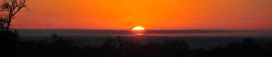
The Bootleg Fire on July 19:
Update: July 19. The Bootleg fire in Southern Oregon has reached 364,000 acres, or 570 square miles. The fire spread rate is greater than 1,000 acres per hour, or a football field every 5 seconds. This has been going on for 12 days. 2,200 personnel are fighting the fire, and it is 30% contained.
What is even worse, is that the pyro-cumulus clouds from the fire generates its own lightning which can start new fires. These spread to the East and South of the current fire. The fire also generates its own winds. There are now 80 large wildfires in the Western US.
Update: July 17. The NY Times “It Is All Connected” , by Henry Fountain and John Schwartz, explains the extreme Northwest Heatwave from the site World Weather Attribution which examines the climate change connection to current weather phenomena: http://Worldweatherattribution.org
In short, the warming Arctic compared to the warm equator provides less driving force for the mid-latitude jet stream, which slows down. This leaves the long heatwave over the Northwest US, and the stalled heavy rain and floods over Northern Europe.
Inciweb: Incident Reporting System
The Bootleg Fire Map on Inciweb on July 19.

The Beckwourth Complex Fire
Expanded map of the Beckwourth Complex fire on July 17 on Inciweb. July 19, it is still 105,000 acres or 164 square miles and is now 88% contained. The highway bordering the fire on the East is Hwy. 395. The lake in the middle is Frenchman lake. The soft vertical dashed line on the right is the Eastern border of California North of Lake Tahoe.

Western Fires on Inciweb

Vertically Integrated Smoke in milligrams per square meter, according to the color scale on the bottom.

GOES-17 Smoke Photo, showing the location of the Bootleg Fire

Western Drought Map 2021 much worse than 2020.

California Average Temperature Record Since 1895 Shows 3º F Rise on Average
That is enough to turn a ten year high into the maximum we just went through.
